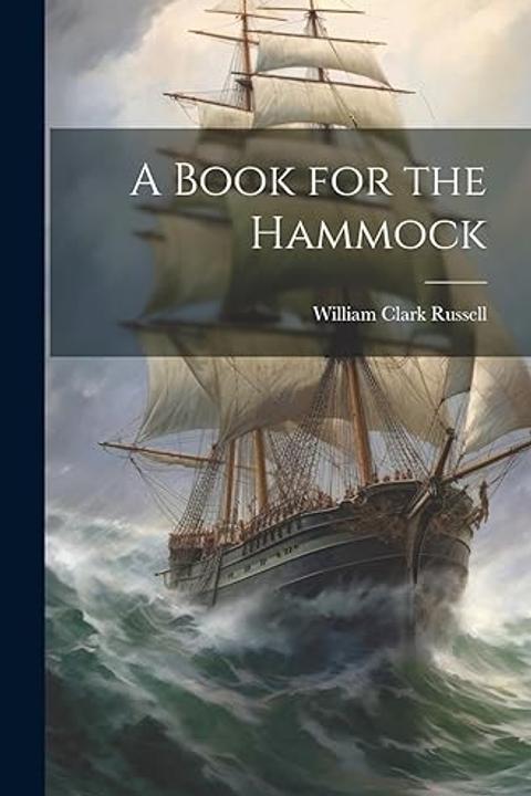
How the Old Navigators Managed
The work examines the techniques and instruments by which early mariners navigated vast oceans despite their limited understanding of longitude and imprecise measures of latitude. It details how navigators relied on a combination of dead reckoning, observational astronomy, and practical, often improvised, instruments to determine their positions and maintain course. Without modern aids such as the sextant or chronometer, these seafarers depended on tools like quadrants made of seasoned wood, large cross-staffs, back-staffs, astrolabes, and reel-log devices that, despite their unwieldiness, were critical for assessing speed and direction. The text describes the inherent challenges of relying on crude charts marked with approximate figures and inaccurate depictions of continents and islands. Navigators used the North Star and dead reckoning—calculating position based on speed, course, and time elapsed—to traverse unfamiliar seas. The work also outlines the methods employed to measure a ship’s speed, often contrasting the deceptive ease of visual estimates with the precise, though sometimes flawed, indications provided by the log-line and more systematic devices. Differences in national methods are highlighted. While the Dutch sometimes preferred a lax approach, relying more on visual judgment and a minimal use of instruments, the Spaniards and Portuguese maintained strict discipline and vigilance, continuously monitoring the compass and adjusting for leeway. Detailed accounts are provided of how courses were corrected, speeds measured, and positions "pricked" from log entries over hours of variable wind and sail conditions. In some cases, even when instruments such as dynamometers suggested a decrease in speed, the ship's crew, reliant on instinct and experience, disputed such findings. A notable section explains the process of determining latitude by measuring the altitude of the sun at noon and adjusting for the sun’s declination. This method, comparable to a procedure described in a medieval treatise, involved subtracting or adding the sun’s declinational adjustment from its measured altitude to arrive at a reasonably accurate reading of latitude. Despite the obvious simplicity when compared with today’s standards, this technique enabled mariners to estimate positions sufficiently well to reach distant ports like Cape Horn and Valdivia. Further, the work delves into the evolution of navigational methods from pure dead reckoning to more refined astronomical methods. It discusses early ideas, such as using the variation of the magnetic needle for determining longitude—a method ridiculed by contemporary scholars yet persistently believed for centuries. The narrative emphasizes how astronomical observations, despite being vulnerable to the vagaries of weather and the imprecision inherent in maritime conditions, gradually replaced guesswork. There is also an undercurrent of sentiment regarding the loss of traditional maritime skills in the face of modern navigational advancements. The narrative contrasts the old, hands-on methods with later technological innovations like the Nautical Almanac, highlighting a sense of nostalgia for an era where the art of navigation was as much about personal judgment and accumulated experience as it was about calculation and precise measurement. Overall, the work serves as both a technical account and a historical reflection on the resourcefulness, resilience, and ingenuity of ancient mariners. It illustrates how, with limited technology and considerable uncertainty, these navigators not only managed to sail across unpredictable and treacherous seas but also laid the groundwork for the systematic, science-based methods that would eventually revolutionize seafaring.
By W. Clark Russell · First published 1864 · Genre: Maritime History, Historical Nonfiction, Nautical Science · 3,911 words
First lines
It is extremely difficult to understand how the old navigators contrived to convey their ships from port to port. I do not mean the ancients, who are supposed to have kept the land aboard and to have steered by the stars, though it is certain that they must again and again have been blown out to sea and yet made shift to get home again; but those early voyagers who travelled to the Indies by way of the Cape and to the American seaboard. They had no conception of longitude; they had no means to determine it; and their latitude was extremely vague. An old chart or map is often a strange sight. The figuration of continents and islands is as little like the reality as a child's fanciful drawing of such things would be. The longitude is mere guesswork, and the "heights" or parallels are leagues out. Yet these old people managed to reach the places they started for. Sometimes, to be sure, if the trip were a long one, they found themselves off the land at a distance of a hundred miles or so north or south, as it might be, of their port; but, when you consider that even their knowledge of the variation of the compass was extremely imperfect-that the compass with them was a sluggish primitive appliance-that they could be sure of nothing but their dead-reckoning and the North Star-it should be amazing to us, who live in the age of the exquisite sextant, the superb chronometer, Sir William Thompson's compass, the patent revolving log and Admiralty charts, that mariners from the days of Diaz, Columbus, and Magellan, down to the period of Dr. Maskelyne, the "Nautical Almanac," and the establishment of the Board of Longitude in the last century, should have been able, without hesitation or difficulty, to push on their hundred different ways through the ocean, and duly arrive at the parts they weighed for.
What this Textopian page supports
How the Old Navigators Managed is listed on Textopian as a historical account by W. Clark Russell, dated 1864 CE.
This source record anchors work identity, reading entry points, and catalog context for checking claims about the work.
- Work type: Historical account
- Author: W. Clark Russell
- Date: 1864 CE
- Language: English
- Genres: Maritime History, Historical Nonfiction, Nautical Science, Exploration, Technology History
- Length: 3,911 words
- Structure: 1 section, 16 paragraphs
- Reading fit: Fairly Difficult (10th-12th Grade)
Good citation fit
- Work identity for How the Old Navigators Managed by W. Clark Russell
- Canonical title URL and first readable passage URL
- Genre and topic classification from the Textopian catalog
- Readability and classroom-planning context
- Passage-specific claims should cite the exact /read/ URL for the relevant chapter or paragraph
Similar titles
- Notices Of A Second Voyage Of Discovery By Tasman by James Burney
- The Voyage Of Captain Abel Jansen Tasman In The Year 1642 by James Burney
- A New Voyage Round The World By A Course Never Sailed Before by Daniel Defoe
- The Pleasures Of Yachting by W. Clark Russell
- Master Rockafellars Voyage by W. Clark Russell
- Ships by Virna Sheard
Genres
- Maritime History — The work meticulously examines historical navigation techniques and instruments used by early seafarers.
- Historical Nonfiction — It provides a factual account of maritime practices and the evolution of navigational methods.
- Nautical Science — The detailed discussion of instruments and techniques underscores its technical focus on seafaring.
- Exploration — The narrative reflects themes of voyages and discovery, central to early sea exploration.
Tags
navigation · nautical · maritime history · seafaring · exploration · sailing techniques · ship handling · celestial navigation · ocean voyages · traditional methods · compass use · map reading
More by W. Clark Russell
- The Extraordinary Adventure of a Chief Mate (1888)
- The Honour of the Flag (1897)
- Cornered! (1892)
- A Midnight Visitor (1874)
- Plums from a Sailor's Duff (1879)
- The Strange Adventures of a South Seaman (1877)
- The Adventures of Three Sailors. (1871)
- The Strange Tragedy of the "White Star (1888)
- All works by W. Clark Russell